File:Aerial view of Horidava.png
Jump to navigation
Jump to search
No higher resolution available.
Aerial_view_of_Horidava.png (800 × 600 pixels, file size: 257 KB, MIME type: image/png)
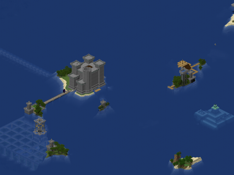
Summary
The aerial view of Horidava.
File history
Yi efo/eka'e gwa ebo wo le nyangagi wuncin ye kamina wunga tinya nan
| Gwalagizhi | Nyangagi | Dimensions | User | Comment | |
|---|---|---|---|---|---|
| current | 21:10, 29 June 2024 | | 800 × 600 (257 KB) | Hori (talk | contribs) | {{AerialViewFile|Horidava}} |
You cannot overwrite this file.
File usage
The following page uses this file: